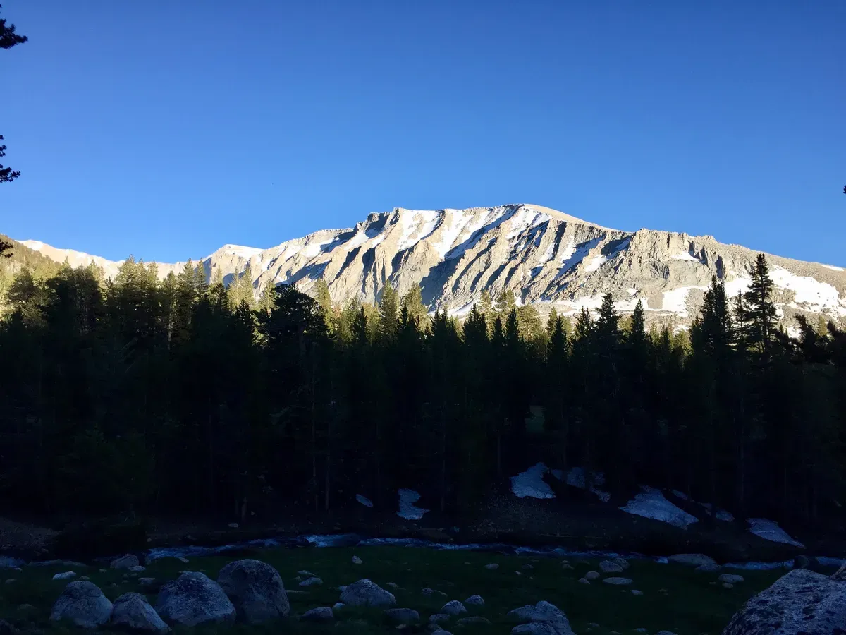
Day 39 – Preparing for Whitney
Originally published on Mason Hikes the PCT 2017.
Mileage: 19 to Crabtree Ranger Station
We want to summit Mt. Whitney tomorrow morning, so today’s hike is meant to set us up for an easy hike up to 14,500 feet. Ha.
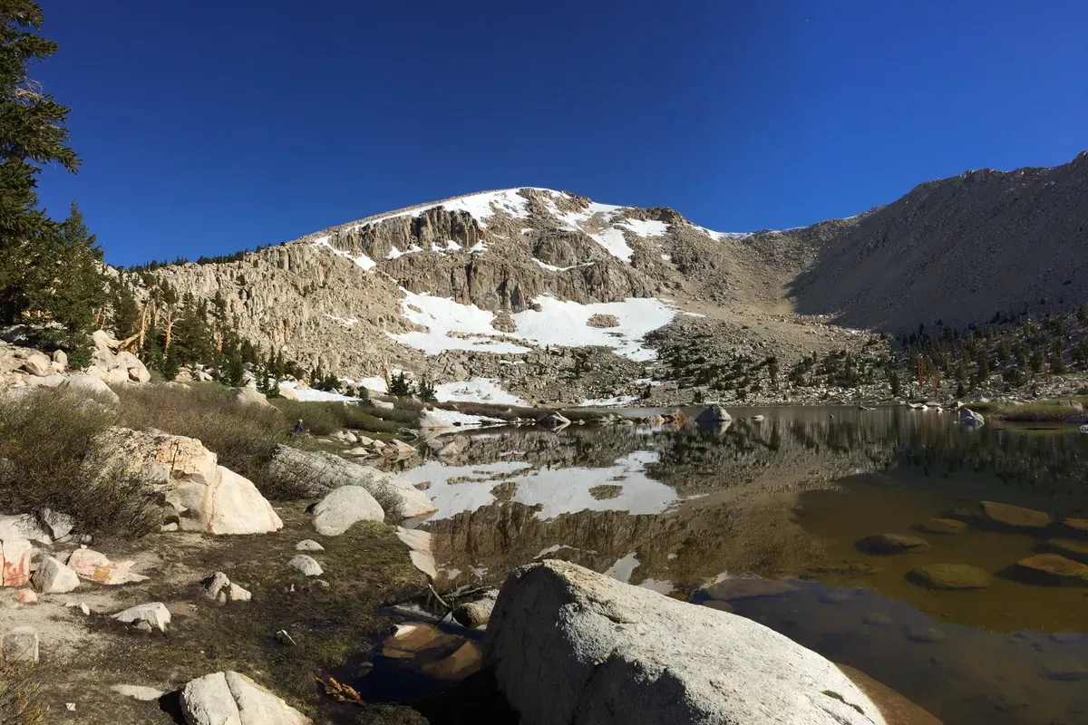
Since we only needed to go 19 miles today, we woke up fairly late and were mozying around for the better part of the morning. We stopped at some alpine lakes, played in some snow, and didn’t hike very far for a long time.
I miraculously ran into some people I had hiked with for a little while back by Big Bear (Butterfly and Jazz Cabbage) who had some really great advice for the next section. Apparently they have been hitching around and skipping sections, so they started the Sierras a few days ago and have already done Whitney, so they told me what to look out for. This included crossing Rock Creek in the meadow, taking the second exit towards Whitney off the PCT even though it’s harder, and hanging our backpacks so marmots can’t get in.
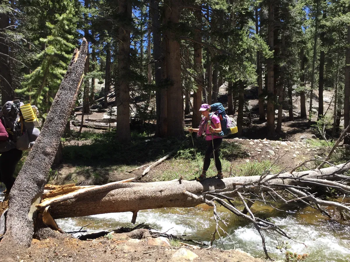
My little hiking group eventually made it to the trail towards our lunch meeting spot and got to experience our first real river (creek) crossing! Rock Creek was “impassable” on the PCT according to a note left by a ranger, so we needed to cut across an incredibly flooded meadow to get across safely. We chose some logs that everyone was comfortable with and crossed the heaviest of the water fairly easily.
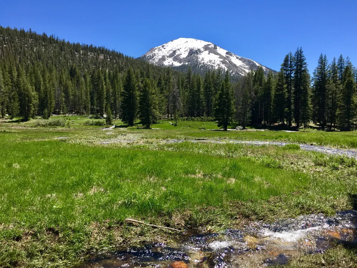
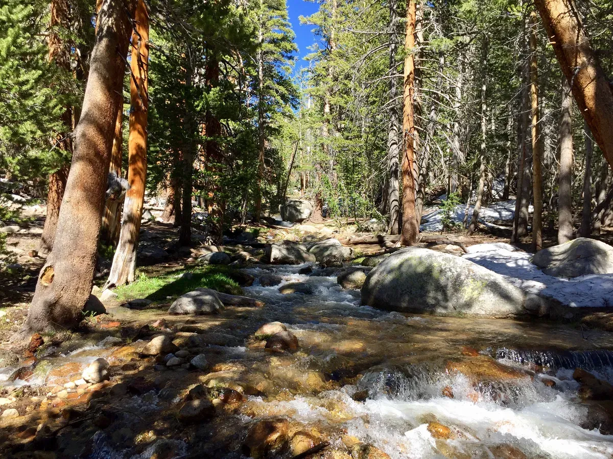
The portion over fast, heavy water was nice practice, but it did nothing to prepare us for the seemingly insignificant flooding that we started seeing EVERYWHERE. What used to be grassy meadow was now marshland with hundreds of miniature streams running through it, which were absolutely spectacular at soaking your shoes and socks when you least expected it. By the end of our half-mile detour, everyone’s shoes, socks, and pants were soaked with mud. As we got to the “impassable” section, we saw numerous potential trees we could have used to cross, so maybe we should have just tried that instead.
After getting soaking wet, we got a nice break from moisture in the form of a grueling uphill that never seemed to end.
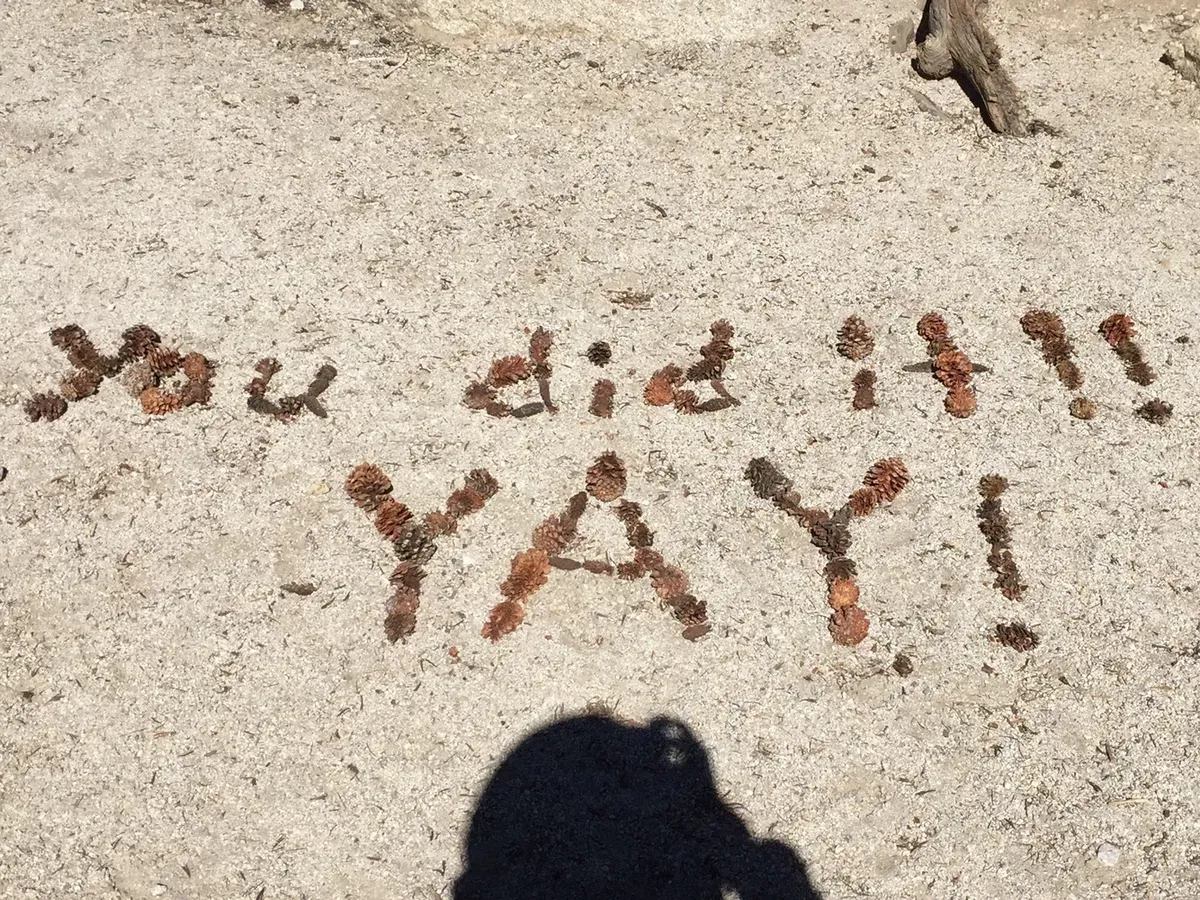
It was super steep and everyone was struggling, so when I got to the top, I tried to brighten a few days with an encouraging sign. It turns out only two out of our group saw it, but hopefully it makes at least someone coming up that hill smile.
Flame and I hiked on until we got to some trail options, most of which were dictated by notes that rangers had left. They suggested going further and more uphill in order to avoid three unnecessary river crossings, which we immediately decided to do because the rivers have been pretty intense. We climbed a log to cross the river and set off towards our dinner meet up point at the Crabtree Ranger Station.
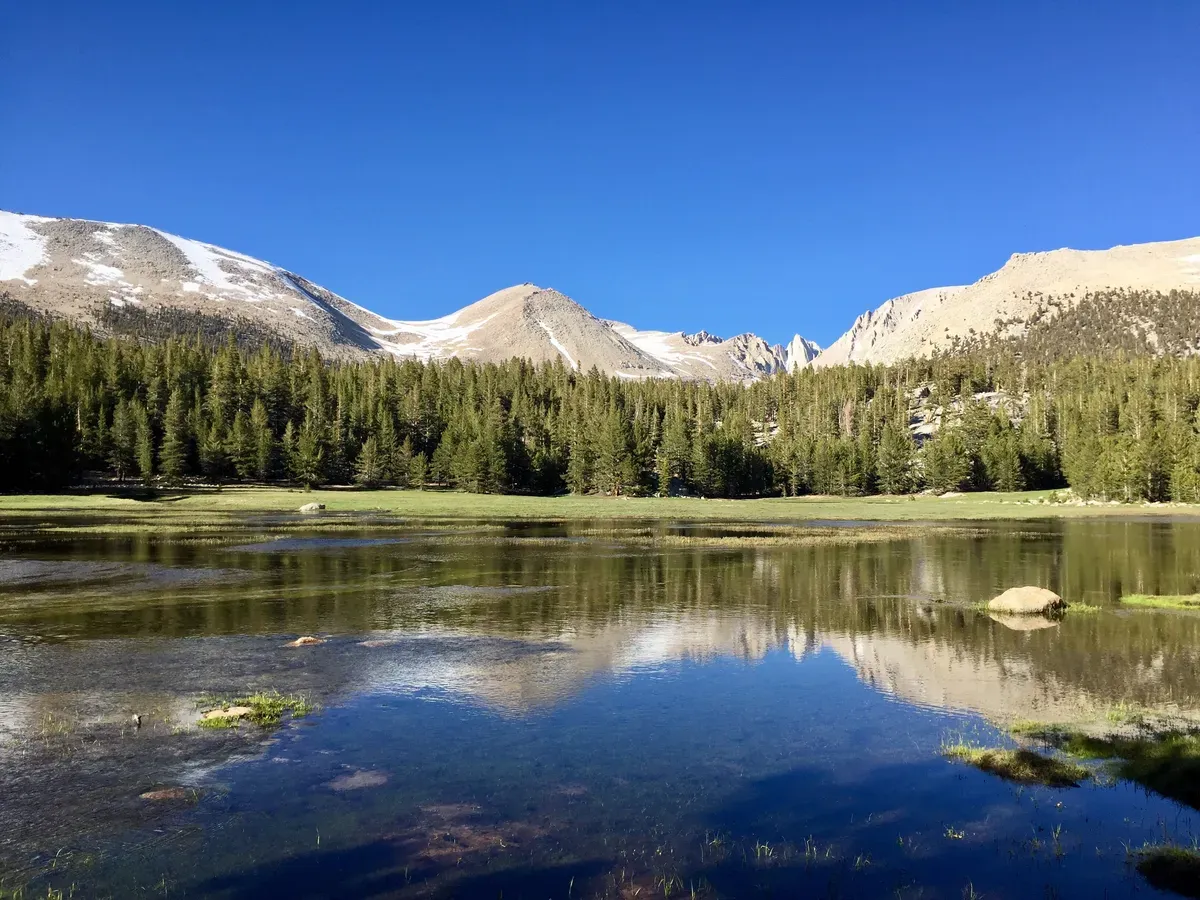
We got SOOO close to Crabtree, but in order to get all the way there, we would have needed to wade across a swift and child river, which we decided we didn’t really want to do. Instead, we hoped that everyone read the sign and did the same thing as us and wouldn’t have to come across that river at any point. Luckily, everyone had listened to the advice I had shared from my Big Bear hiker buddies and everyone showed up at camp in a reasonable period of time.
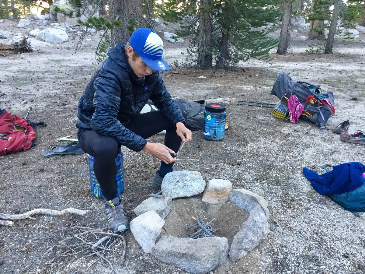
We had a small fire, packed up our day packs for tomorrow, then hid everything in bear cans before hitting the hay for our big day tomorrow. It’s going to be so cool up there!