Day 48 – Coming down
Originally published on Mason Hikes the PCT 2017.
Mileage: 16
We’ve been pretty consistently high lately. Every day holds a new snow-covered mountain pass that brings us up and up before forcing us back down to the lowlands. Today was no different, with Muir Pass in our sights and miles and miles of snow to slog through.
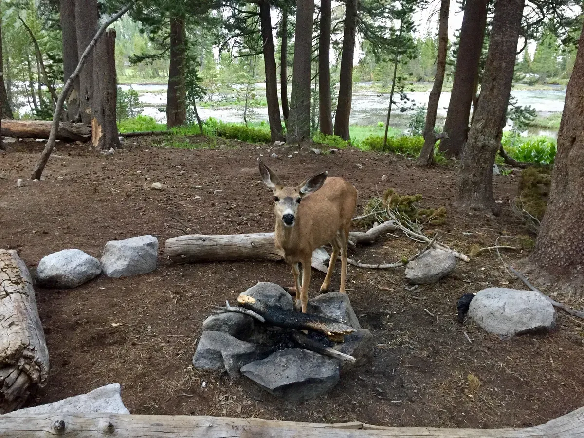
We started the day a little late in our amazing campsite with all of our deer buddies. They were frolicking around waiting for us to leave so that they could eat the coals from our fire (seriously, I watched them), so we left them and started walking slowly uphill.
Today was the worst hiking pace we’ve had so far, which doesn’t make a lot of sense because we weren’t in the snow this morning. People were just worn out and rationing food, a combination that makes for consistently slow hiking. Flame, the fastest among us, eventually got tired of waiting and hiked on alone, napping at the top for over an hour before the first of us got there.
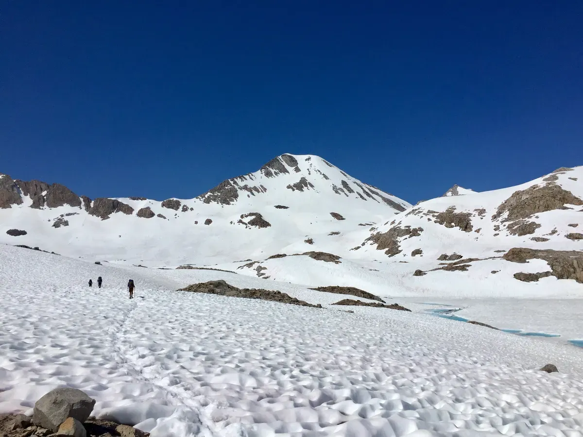
The hike wasn’t too bad, but it was uphill and the pass was described in a guidebook as “one of the most difficult passes on the PCT due to the miles of snowfields you must cross in either direction in order to reach the summit.” They definitely weren’t lying about the snow, since we walked through about 8 miles of slushy suncups, making the trek much more tedious. In terms of difficulty, however, Muir Pass was a cakewalk compared to the technical mountaineering and rock scrambling necessary on previous passes. I’m really curious to see what the JMT is like in a non-snow year, because we’re getting some pretty abnormal conditions out here.
After walking for long enough in the snow, we finally made it up to the Muir Pass shelter, a historic structure built for emergency use, though apparently about 10 people camped there last night.
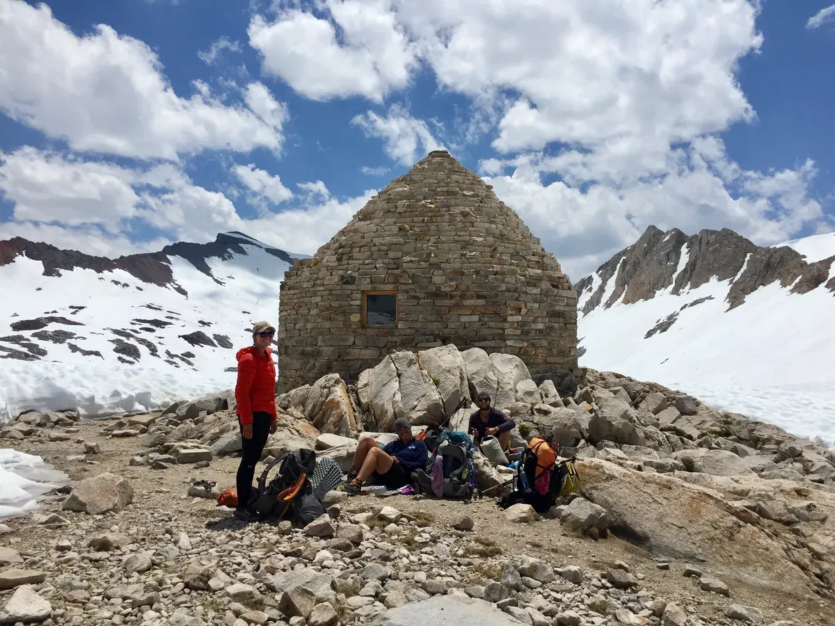
It was pretty cool to see and we hung out with some other hikers for a while on top, but we decided to eat lunch below the snow line, so we needed to hike some more. This was the last major pass and highest point for a long while, so we said our goodbyes to 12,000 feet and started heading down.
About two hours into our descent, still around 11,000 feet, a storm started rolling in. We had quickly stopped for a snack, but now it was go time and everyone was scrambling to get their rain gear belongings together. We were fairly out in the open and we could hear thunder, so we wanted to get to a safer spot ASAP. Unfortunately, such safer spots could only be found on the other side of a massive river, so we had to ford the river in the rain and continue walking through the snow with soaking wet shoes and socks. Hooray! 🎈
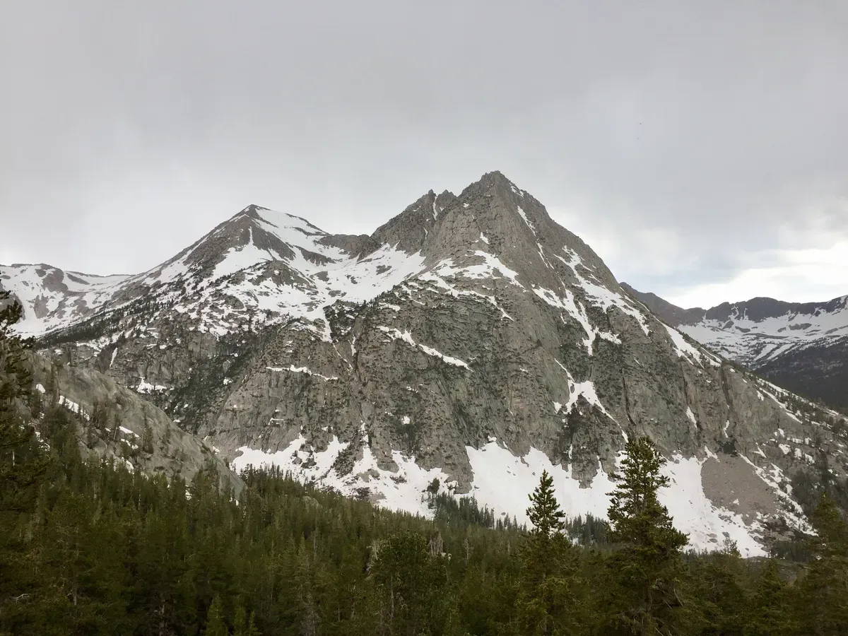
It actually never rained too hard and our shoes were soaked already from the snow, so it was pretty fun walking down through massive puddles and streams because my shoes couldn’t possibly get wetter. We splashed our way out of the snow and into lower elevations. Flame always gets super excited when we’re going down because at 10,000 feet, there’s always a sign that says “No fires above this elevation”, which he points to and goes “Ehhhhhhhh!” because it means that we CAN have a fire BELOW that elevation. Awww yeah 🔥
We walked, we walked, we walked some more, losing altitude with every step, until we made it to our desired campsite, a lovely 5+ tenter with gorgeous views of Evolution “Creek” and some mountains.
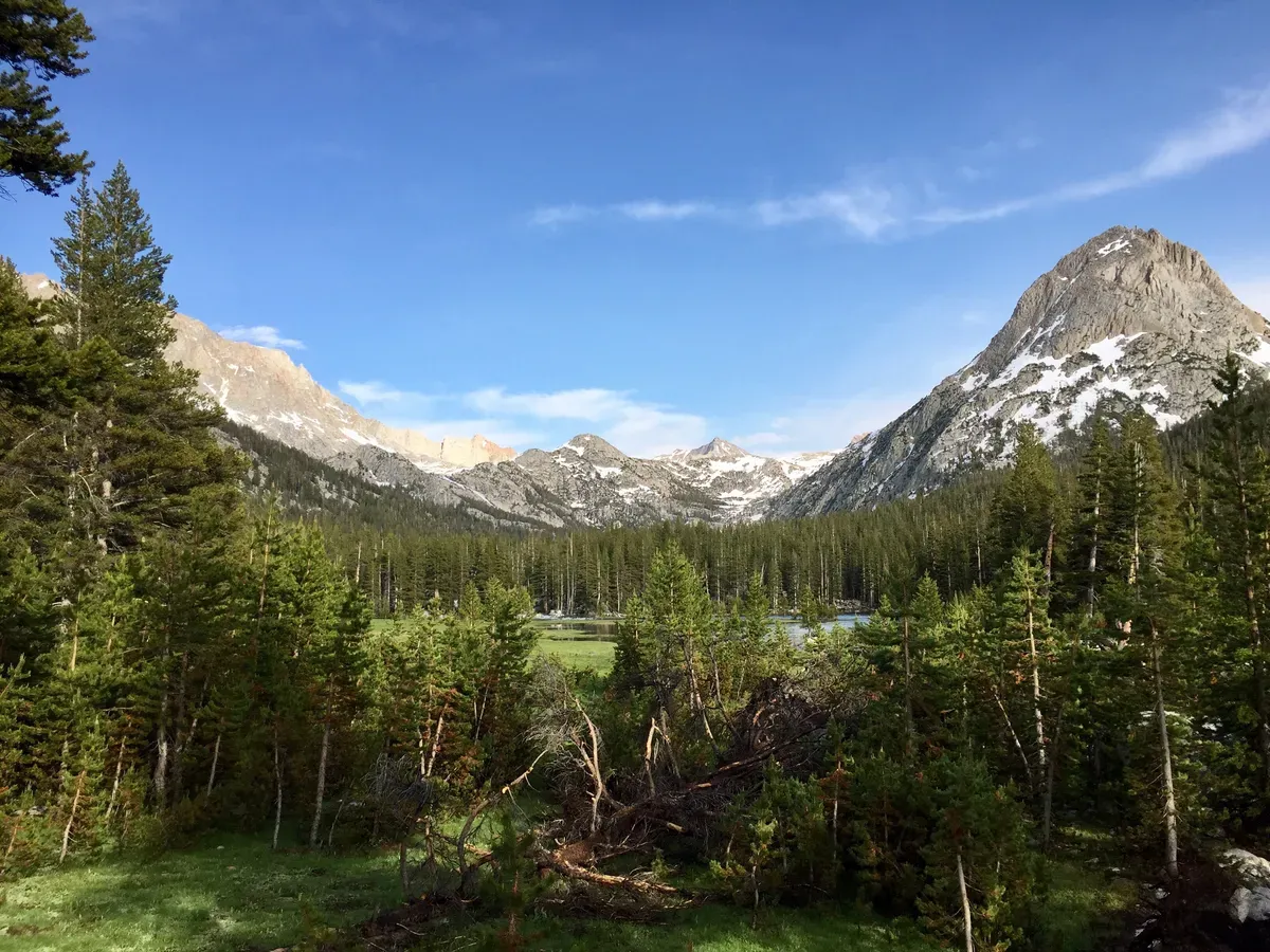
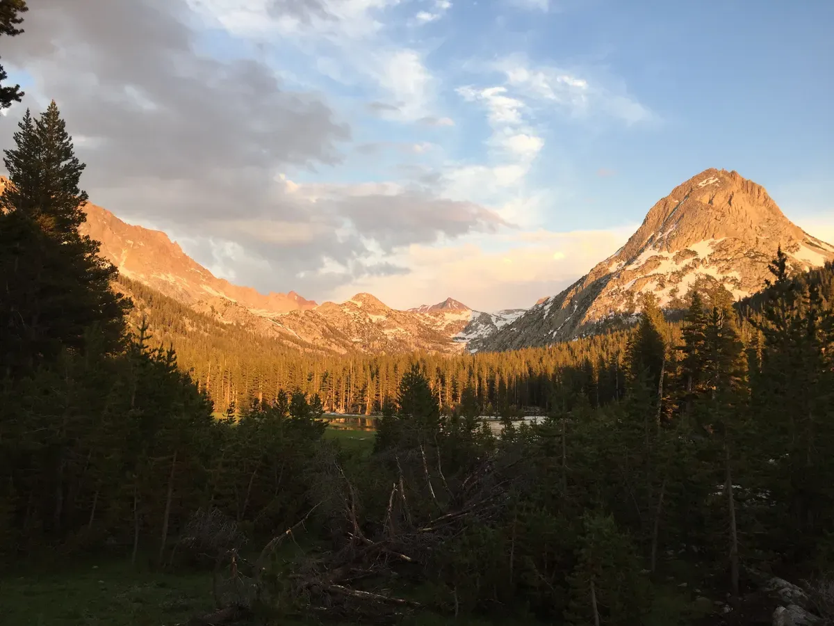
The mosquitos were pretty horrible down here because it was incredibly wet everywhere you looked, but luckily they left us alone around the fire so that we could eat in peace. Tomorrow is going to be almost all downhill with no snow on the trail, so everyone is excited! We have some pretty great plans involving swimming across a river and potentially visiting some hot springs, so I’m excited to see what tomorrow will hold!