Day 55 – Lost in the woods
Originally published on Mason Hikes the PCT 2017.
Mileage: 22
Today was tough. Probably the most physically and mentally taxing day I’ve had on trail.
Physically, I think a lot of the difficulties came from yesterday’s mileage. Slipping and sliding on snow and in rivers works a lot of muscles that I haven’t had to use much, and 30 miles of that is brutal. I woke up sore in so many places today, so the first order of business was to stretch extensively.
I have a ton of extra food (I think 😬), so I fueled up for breakfast and morning snacks, hoping that extra energy would offset the soreness in my muscles. I didn’t feel horrible as I started my hike, so that was a good sign.
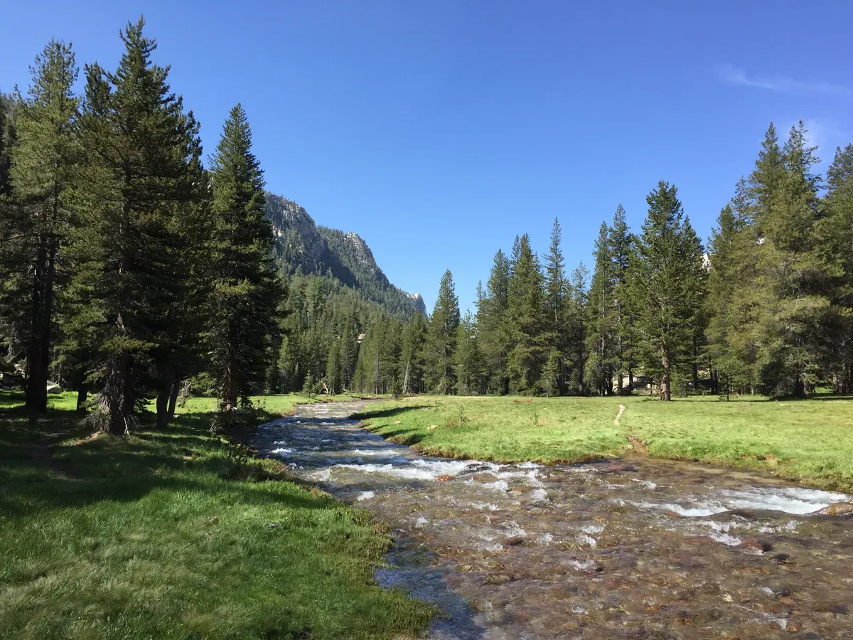
There were two passes to tackle today: Benson Pass and Seavey Pass. Benson was a reasonable walk from my campsite, with multiple river fords along the way. I’m generally someone who tries to avoid getting my shoes wet, but today I just rolled my pants up and went for it. The water was surprisingly refreshing on this hot day in the valleys, so I actually looked forward to it at certain points!
Once I got to the base of Benson, I had a moderate climb up through snow, so I had to continuously check to make sure I was still on the trail. For the most part, the boot track followed the trail, so I was on top in no time. Whew! One down, one to go.
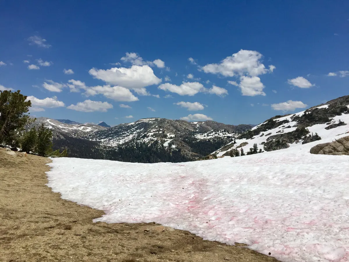
Coming down off the pass, things got confusing. The trail was doing some strange loop-de-loops and whenever it disappeared under the snow, I completely lost it. This made navigation a much more difficult task, and I was moving pretty slow. At one point, the trail went down a switchback, turned 180°, and came back up to right next to where it started. What? It wasn’t just strange planning, but also that the trail didn’t look like a trail at certain points. I guess we aren’t in Yosemite Valley with well manicured trails anymore. 😕 The three guys I ran into on the way down put it more eloquently than I can:
“F***ing insane!”
“Like a child drew on the map with a crayon.”
“I’m going to write a letter to the PCTA about how awful this section is.”
At least I wasn’t the only one that had a hard time!
Now it was time to head up Seavey Pass, which was a “mountain lake pass”, not a standard mountain pass. The walk over was wet, with another three or four river fords along with countless creek crossings, which have become so commonplace that I hardly notice them anymore.
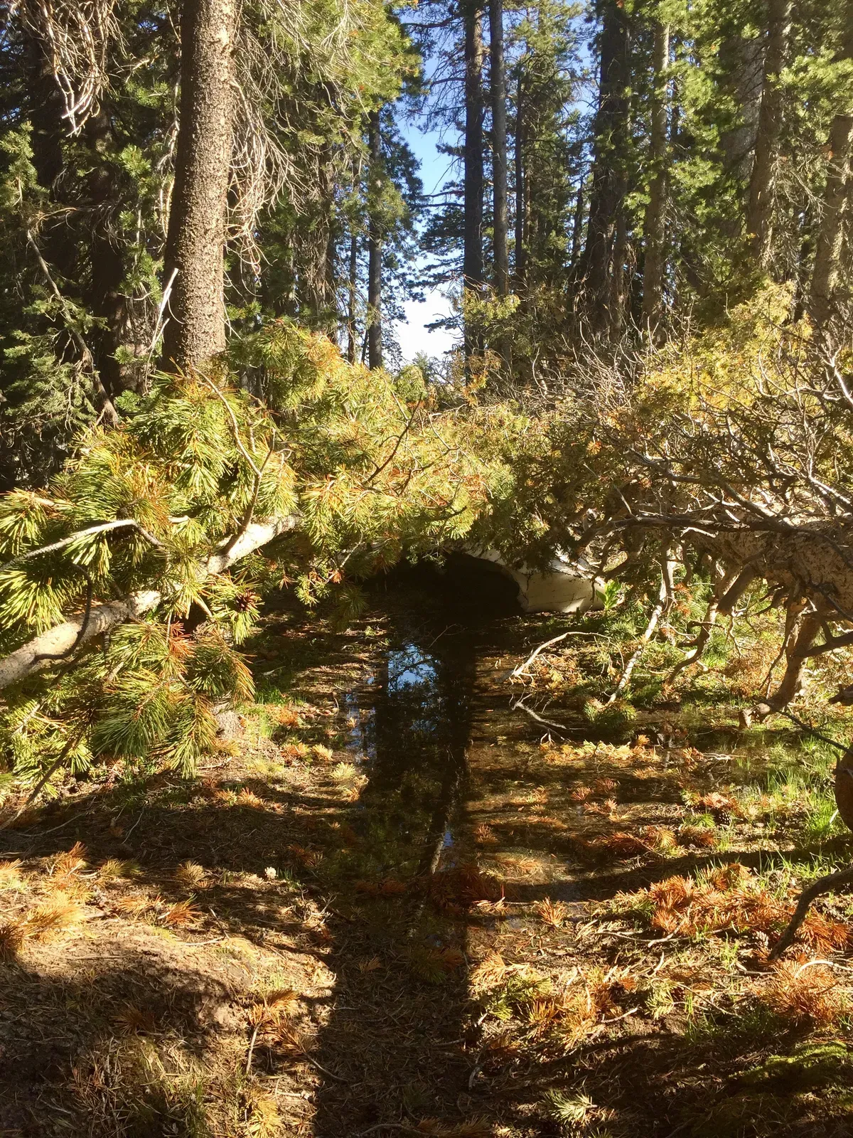
Once I started climbing Seavey, things were fine, but towards the top, I lost the trail again. This would be easy to fix if GPS were more accurate, but +/-50 meters is a long way and my phone shows me on one side of the trail and then the other, seconds apart. The best you can do is generally follow the trail and look for footprints headed in the right direction (or look at my paper maps, but that doesn’t always help).
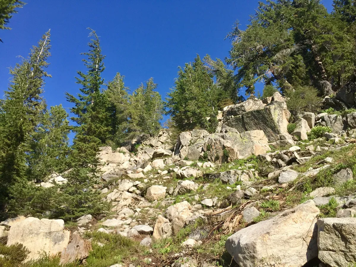
From the top of Seavey Pass, I followed some extreme skiers’ footprints because they were getting down relatively quickly and I love boot skiing. That was a bad idea. The ski tracks ended abruptly and were replaced by cliffs and a waterfall (sound familiar?). I took some time to determine where I was and where I needed to be, and I saw the trail down below me! It was just a matter of climbing down another (slightly sketchier) waterfall to get to the trail.
I made it down with a little extra effort, and followed the trail as it went right down to the river and started walking along the shore. At the time, I thought, “Hmm… I’m surprised that the PCT is so close to this swollen river,” but thought it was just worse this year due to the snow. My thoughts kept getting more worried as the “trail” started getting sketchier and sketchier. “Hmm… trapped on one side by cliffs and trapped on the other by a steep snowbank right into a raging river? I don’t think other people would have done this.”
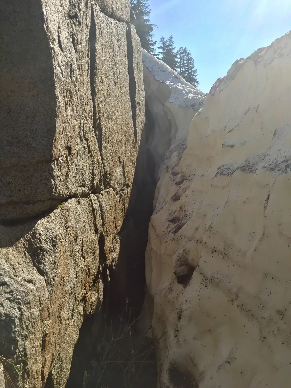
I was very close to tripping my “something’s wrong, turn around” sensor when I saw a group of hikers on the snowbank up ahead, which put me slightly at ease because 1) they had gone this way, and 2) I was no longer alone for a sketchy section. The snow was getting steeper and higher off of the rocks and the river on either side, so a fall would be very very bad. Either you fall 15 feet into a rocky crevice or you fall 10 feet into rocks and slide into the river, potentially unconscious. Not good.
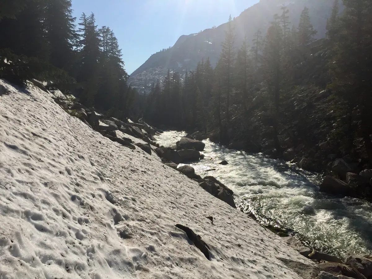
I quickly caught up to them and made a joke: “So much fun, right!?” The guy’s response was a more colorful version of: “This is insane and we’re all terrified,” and I noticed another hiker in front of him bawling. Hmmm… it seems that they were ALSO uncomfortable with our situation. They proceeded to climb up away from the rocks and the raging river towards relative safety, while I pushed on a tiny bit before climbing up to the real trail. Whew. That was enough instensity for one day. I went back to make sure they knew where the trail was and that everyone was okay, then pushed on alone again.
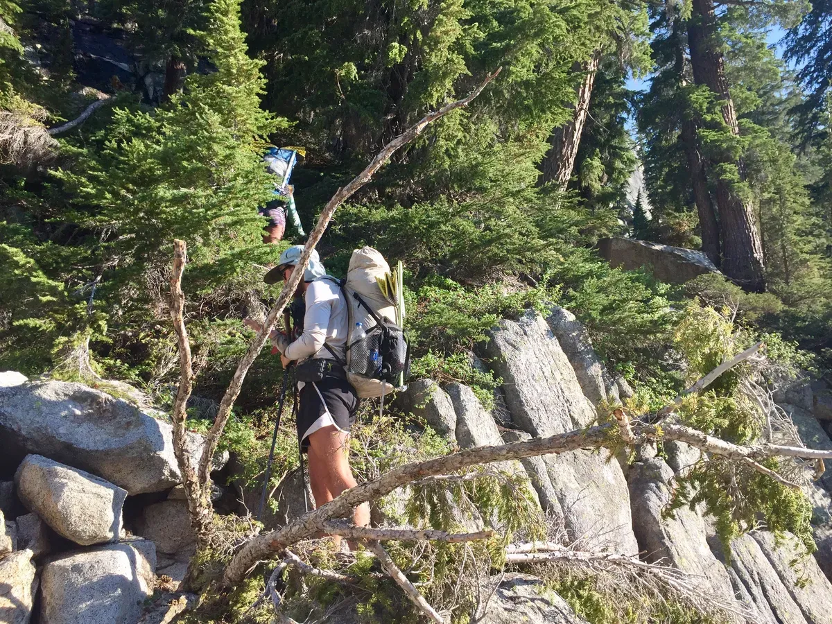
As much as I was now intent on sticking to the real trail, I lost it again. I ended up back down by the water, following the footsteps of another poor soul that did the same thing as me. At first, I was slightly upset with them for leading me astray, but then I realized that they had just made the same mistakes I had. You could also tell that they had gone through a similar thought process as mine, judging by their footsteps attempting to climb back up and realizing it was too steep and then pressing on as close to the cliff wall as possible.
I followed the river for as long as I felt relatively safe, but things were getting hairy again and I was alone this time. I could either press on and risk falling into the river alone, or climb up a couple hundred feet of snow and rocks to get to the real trail. I sat down and ate a triple cookie (vacuum-sealed cookies are no longer plural after a while) to think/refuel, and decided to climb out again. 😞
Despite how hard that climb was, I made the right decision. I would have had two more miles of walking along the river, and every step needed to be precise and perfect to avoid a fall. Instead, I struggled up to the real trail and made sure to NEVER lose it again (ha… yeah right). Right now, it’s just so hard to keep track of the trail because of all the water, snow, and trees. Snow and trees cover it up well, but water forms new trails that branch off from the real trail so you never know which way to go.
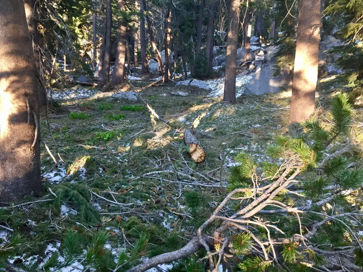
At this point in the day, I was pretty close to done because I had been wearing wet shoes and socks for about 10 hours, I had lost the trail too many times to count, and I was so tired from all the climbing and scrambling, but I pushed on for a few more miles in order to make my trip into Kennedy Meadows North a little bit easier. I finally stopped after a few more creek crossings right before a river ford, so we’ll get nice and wet in the morning!
For as hard as today was, I needed a good meal at the end of it, and let me tell you: Moutain House biscuits and gravy is the bee’s knees! So. Delicious. Huge missed opportunity to put it in my tortillas though. Next time I won’t be so foolish.